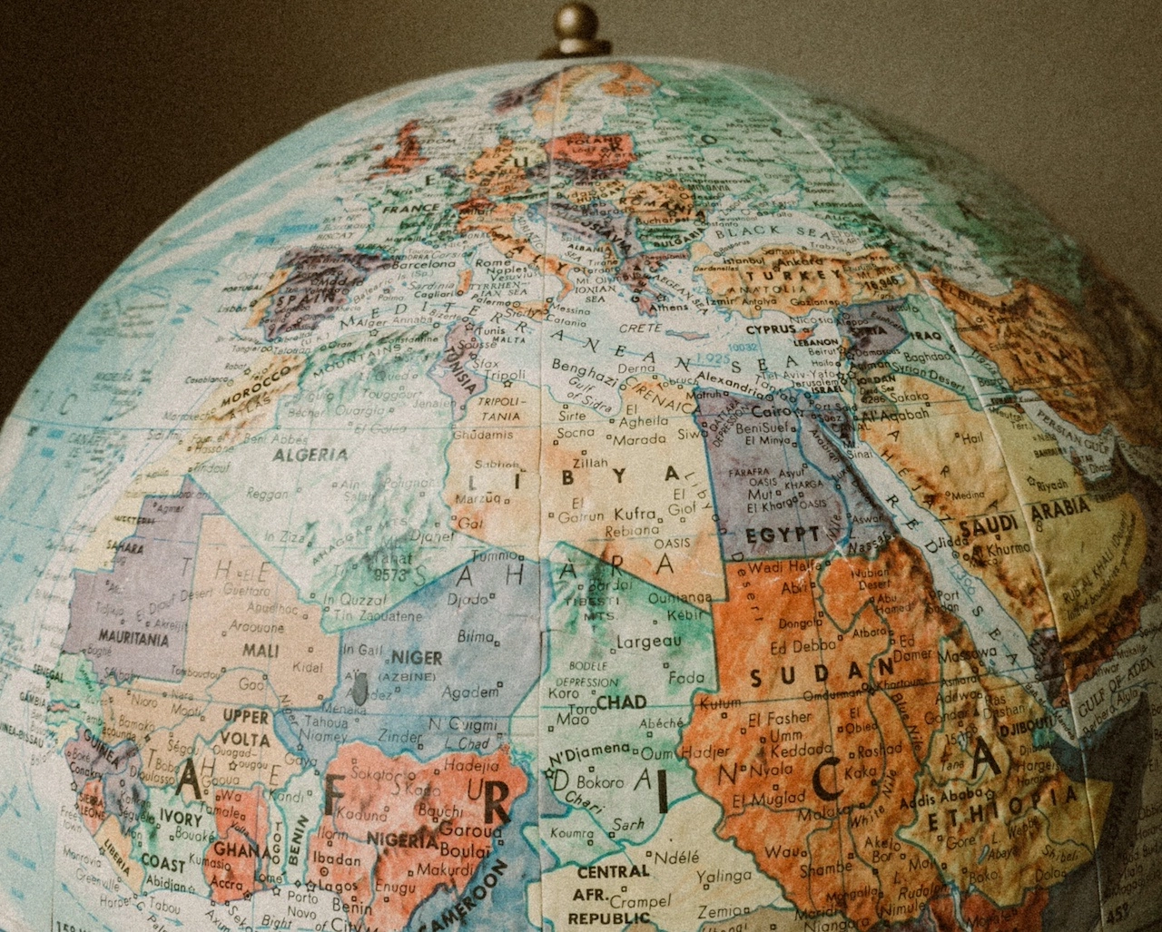
Maps have long served as indispensable tools for navigating the world, providing a visual representation of our physical surroundings. But maps can also be powerful instruments for envisioning the future, helping us to understand the challenges and opportunities that lie ahead.
As we face an increasingly complex and interconnected world, cartography is evolving to meet the demands of the 21st century. Traditional maps are being augmented by new technologies, such as satellite imagery and geographic information systems (GIS), which are providing us with a more comprehensive and dynamic understanding of the world around us.
These new tools are allowing us to map not only the physical world but also the social, economic, and environmental factors that are shaping our future. For example, we can now map the spread of diseases, the impact of climate change, and the distribution of poverty and wealth.
By understanding these complex patterns, we can begin to develop more effective solutions to the challenges we face. Maps can help us to identify vulnerable areas, plan for future growth, and make informed decisions about how to allocate resources.
In addition, maps can be used to promote social justice and equity. By mapping disparities in access to education, healthcare, and other essential services, we can identify and address the root causes of inequality.
The power of mapping is not limited to the public sector. Businesses are also using maps to make better decisions about where to locate their operations, how to optimize their supply chains, and how to reach new customers.
In the future, maps will become even more integrated into our lives. We will use them to navigate our cities, find our way around unfamiliar places, and even explore virtual worlds.
But the most important role of maps in the future will be to help us to envision a better world. By understanding the challenges and opportunities that lie ahead, we can work together to create a more sustainable, equitable, and prosperous future for all.
Here are some specific examples of how cartography is being used to map the future:
- Climate change: Maps are being used to track the impact of climate change on sea levels, temperatures, and weather patterns. This information is helping to develop strategies for adaptation and mitigation.
- Urban planning: Maps are being used to plan for future growth in cities, including the development of infrastructure, housing, and transportation.
- Public health: Maps are being used to track the spread of diseases, such as Ebola and Zika, and to identify areas that are at risk. This information is helping to develop more effective public health interventions.
- Conservation: Maps are being used to identify and track populations of endangered species and to develop strategies for their protection.
- Disaster management: Maps are being used to identify areas that are at risk of natural disasters, such as floods and earthquakes, and to develop evacuation plans.
As we continue to develop new technologies and gather more data, the power of cartography will continue to grow. Maps will become even more essential tools for understanding the world around us and for shaping a better future for all.
Related Posts
Benefits of Hiring a Certified Arborist in Salem, Oregon
Trees are a vital part of the landscape in Salem, Oregon, offering shade, beauty...
Read More
Creating Comfortable Worship Spaces with ChairsForWorship
A well-designed worship space is a cornerstone of any church, providing a welcom...
Read More
Preserving the Past: Restoring and Digitizing Historical Maps
Across centuries, maps have served as invaluable tools for navigation, explorati...
Read More
Maps as Educational Allies: Enhancing Learning with Visual Aids
In the realm of education, maps stand as invaluable allies, providing visual aid...
Read More


